
🧠 AI Quiz
Think you really understand Artificial Intelligence?
Test yourself and see how well you know the world of AI.
Answer AI-related questions, compete with other users, and prove that
you’re among the best when it comes to AI knowledge.
Reach the top of our leaderboard.


GeoInfer
Pinpoint Locations from Any Photo Instantly
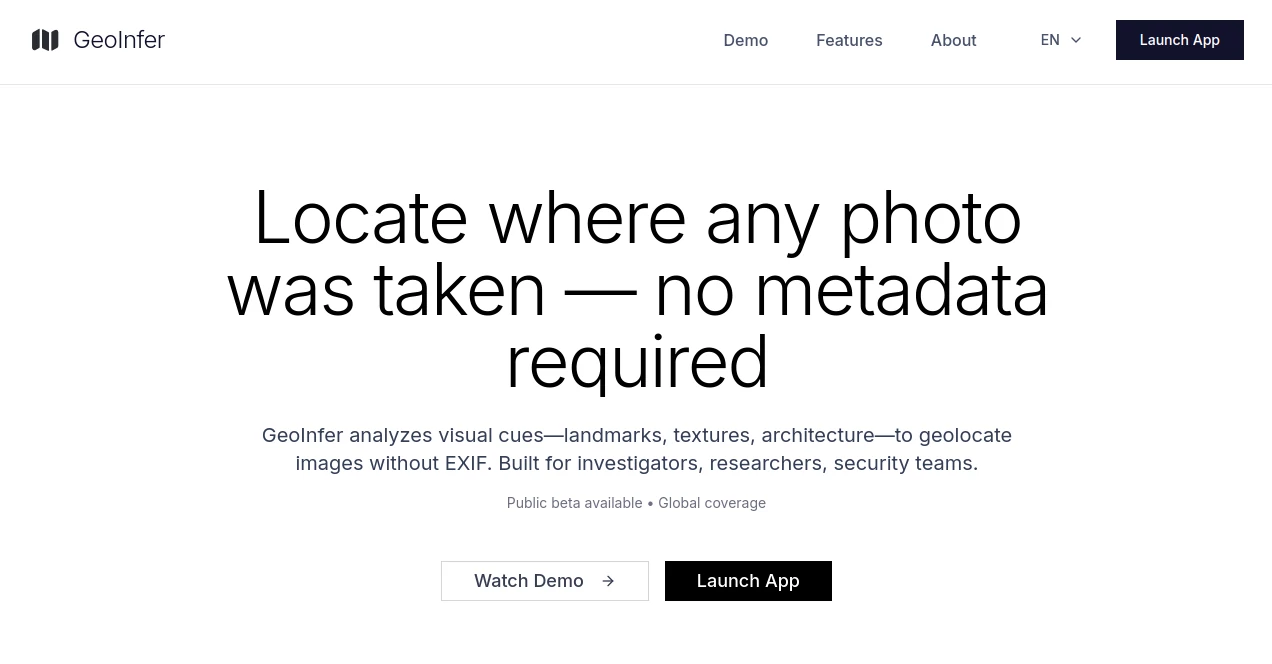
What is GeoInfer?
GeoInfer slips into the toolkit of those who chase clues through snapshots, pulling hidden spots from the frame without a whisper of metadata. It's the sharp eye that spots a crooked spire or a telltale tree line, handing back coordinates that turn a blurry shot into a map pin. Investigators and sleuths who've tested it in the field often nod to how it cuts the hours of squinting at screens, letting them zero in on the where without the wild goose chases.
Introduction
GeoInfer sprang from the quiet frustrations of pros sifting through endless image files, piecing together places by hand in dimly lit rooms. A handful of tech folks with roots in security and analysis got together, fed up with tools that leaned too hard on tags that weren't there, and cooked up something that reads the scene like a local. It hit the beta stage not long ago, drawing nods from law folks and reporters who needed a leg up on verifying viral pics or tracking leads. What pulls them in is the way it handles the grit—fuzzy edges, odd angles—without batting an eye, turning what used to be a hunch into a hunch backed by hard numbers. Early users swap stories of nailing a story's origin from a single street snap, proving it's less gadget and more gut extension for those in the thick of it.
Key Features
User Interface
You start with a no-nonsense upload spot that swallows your file whole, then watches a progress bar zip along while the engine hums underneath. Results pop up on a clean map overlay, with pins and notes that zoom in smooth, no clunky menus to trip over. It's the sort of setup that lets you drag in a batch or poke at one, with toggles for detail levels that feel right at home, even if you're juggling this on a laptop in a stakeout van.
Accuracy & Performance
In the thick of a city, it drops you within a stone's throw, while out in the sticks it widens the net but still frames the right county. Speeds clock in under a breath for most shots, thanks to models fed on heaps of tagged scenes from every corner. Those who've run it against known spots say it holds steady, rarely chasing shadows when the light's right, though a washed-out pic might nudge the circle a tad wider.
Capabilities
It chews through any standard shot—crisp or cropped—and spits back not just a dot but a radius that makes sense for the terrain. Batch runs let you sift a folder full in one go, while the core tech picks apart roofs from roots to flag the spot. You can layer in extras like time stamps if they've snuck in, but the real kick is how it works solo, bridging gaps where clues are all you've got.
Security & Privacy
Uploads hit a gated door, with only vetted eyes getting the nod, keeping your files from floating free. It processes on the fly and clears the deck after, no lingering traces for anyone to trip over. Pros in tight spots appreciate the whitelist vibe, knowing their edge stays sharp without leaks, and the whole setup nods to rules that keep sensitive digs under lock.
Use Cases
Reporters chase a tip from a shaky phone clip, feeding it in to confirm the alley before the deadline bites. Sleuths in badges run suspect selfies through to map a trail, saving shoe leather on dead ends. Security watchers scan social scrolls for off-site risks, pinning posts that flag trouble spots. Even academics pull it for fieldwork shots, grounding old expedition pics in fresh grids without the dusty archives.
Pros and Cons
Pros:
- Works blind on tags, reading the room from visuals alone.
- Quick as a flick for single shots or stacks.
- Tight circles in towns, broad but useful in wilds.
- Tailored gate for pros who need it quiet.
Cons:
- Gate's picky, so casual tries hit a wait.
- Needs clear cues—blurs or blanks throw it off.
Pricing Plans
Beta's wide open for testers right now, no tab running till the full rollout, letting qualified hands get a feel without the upfront bite. Once it steadies, expect tiers that scale with your digs—light use for solo scouts, heavier pulls for team hauls, all pegged to keep the pros in play without pinching pockets too tight. Early birds lock in spots now, betting on a setup that grows with the need.
How to Use GeoInfer
Drop your creds on the waitlist form, spelling out why your work fits, and cross fingers for the green light. Once in, snag a file—JPEG or the like—and haul it to the drop zone, tweaking for res if it's low. Hit go, eye the map bloom with your hit, and jot the coords for the file. Loop in more if you've got a pile, or tweak the search for finer nets, wrapping your hunt in under a minute flat.
Comparison with Similar Tools
Where tag hunters stall on stripped files, GeoInfer pushes past, though those shine brighter on embedded data dives. Against broad image sleuths, it zeros on the ground game, skipping the fluff for feet-on-dirt pins, but might lack the wide nets for non-place hunts. It edges out for the fieldwork crowd, blending speed with spot-on where others guess or grind.
Conclusion
GeoInfer flips the script on scene sleuthing, handing pros a lens that sees through the frame to the firm ground beneath. It's the quiet boost that turns a snapshot hunch into a solid lead, easing the load on those who map the unseen every day. As digs get deeper and pics pile higher, this bit of kit stands ready, proving a picture's worth a thousand pins when the right eye's watching.
Frequently Asked Questions (FAQ)
What file types does it take?
Standard snaps like JPEG, PNG, and WEBP slide right in, no fuss.
How close does it get in open country?
Around fifty klicks on average, tightening up with standout sights.
Is it open to everyone?
Whitelisted for pros now—shoot your case for a shot at entry.
Does it need clear weather in the shot?
Clearer cues help, but it wrestles fog and dusk without folding.
When's the full launch?
Beta's rolling; keep an ear out for the open call soon.
AI Image Recognition , AI Maps Generator , AI Data Mining , AI Research Tool .
These classifications represent its core capabilities and areas of application. For related tools, explore the linked categories above.
GeoInfer details
This tool is no longer available on submitaitools.org; find alternatives on Alternative to GeoInfer.
Pricing
- Free
Apps
- Web Tools
Categories

GeoInfer Alternatives Product

AlphaTax
ZoraInsights

Hirescope.te…

labgen

Greek Numero…

PortBackLinks

TrueSource AI

HostFinder

Harvey