









OlmoEarth
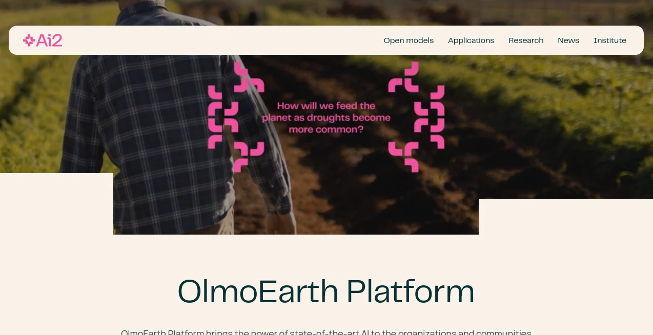
What is OlmoEarth?
OlmoEarth is an open Earth observation foundation model and platform designed to help researchers, environmental organizations, governments, and mission-driven teams turn large amounts of satellite and geospatial data into useful intelligence. Instead of treating satellite imagery as something that only specialists with large engineering teams can work with, the platform brings data preparation, model development, fine-tuning, embeddings, inference, and deployment into a more accessible workflow.
Its strength comes from the way it works with Earth observation data across space and time. The underlying models were trained on millions of global observations, using multimodal satellite information and contextual geographic data. This makes the technology particularly interesting for projects where conditions change over time, such as monitoring forests, mapping crops, assessing wildfire risk, tracking ecosystems, or detecting changes across large geographic regions.
For someone working with geospatial machine learning, the combination of open models and a managed platform is especially appealing. You can experiment with the released models in your own environment, while teams that prefer a more integrated workflow can use the platform for annotation, fine-tuning, inference, and visualization.
Key Features
- Earth observation foundation models trained on large-scale global datasets.
- Support for multimodal satellite imagery, including optical and radar observations.
- Temporal analysis using satellite observations collected across multiple time periods.
- Fine-tuning capabilities for creating models adapted to specific geographic and operational requirements.
- Embedding generation for downstream geospatial analysis and machine learning workflows.
- Built-in tools for importing and creating training annotations.
- Support for defining geographic areas of interest and running inference on selected regions.
- API access for integrating model workflows with external applications and systems.
- Ability to download and integrate predictions into existing geospatial software.
- Open model weights, training data, and code for researchers and technical users.
- Examples and projects covering environmental monitoring, agriculture, disaster response, and ecosystem analysis.
User Interface
The platform is designed around a guided workflow rather than requiring users to assemble every component themselves. Users can create or import datasets, work with annotations, define an area of interest, configure training, fine-tune a model, and inspect the resulting outputs.
This approach is useful for teams that understand their geographic problem but do not want to spend months building the infrastructure around it. The interface brings several traditionally separate steps into one environment, while the API provides a path for teams that need more automation or integration with existing systems.
The experience is still geared toward people who are comfortable with geospatial and machine-learning concepts. It is not a general-purpose visual AI application, and users will get the most value from it when they have a clearly defined Earth observation problem and appropriate training or reference data.
Accuracy & Performance
Performance is one of the strongest aspects of the platform. The underlying model family was evaluated across a broad collection of Earth observation benchmarks and real-world applications, including land-cover classification, ecosystem mapping, crop-type mapping, object detection, change detection, wildfire-related analysis, and maritime monitoring.
The model family includes several sizes, ranging from lightweight variants intended for faster and less expensive inference to larger models designed for demanding tasks. This gives technical teams more flexibility when balancing computational cost and performance.
Real-world projects provide another useful indication of its practical value. Global Mangrove Watch reported 97% accuracy during beta testing while using substantially fewer data points than previous workflows. Other applications have explored crop mapping and wildfire risk, demonstrating that the technology is intended for operational problems rather than laboratory experiments alone.
Capabilities
The system can be used for classification, semantic segmentation, object detection, change detection, regression, and representation learning. Its multimodal design allows it to work with information from different satellite sensors while considering both geographic location and temporal context.
One particularly useful capability is embedding generation. Embeddings provide compact numerical representations of Earth observation data that can be exported and used for tasks such as similarity search, segmentation, change detection, and exploratory analysis. Exported results can work with familiar geospatial tools such as QGIS, GDAL, and rasterio.
For organizations with custom requirements, fine-tuning is another major advantage. Instead of starting a model from scratch, teams can adapt a pretrained foundation model using their own ground-truth observations. This can be valuable when working with a particular ecosystem, region, crop type, environmental indicator, or monitoring task.
Security & Privacy
Data governance is an important consideration for any organization working with sensitive geographic information. The platform provides API-based access controls and workflows for managing areas, datasets, models, and outputs. Teams can also work with the openly released models in their own environments, giving technical organizations an additional deployment option when they need greater control over their infrastructure.
Organizations should still review the platform's current documentation and responsible-use policies before uploading sensitive or restricted datasets. Requirements can vary considerably between environmental research, government projects, commercial operations, and other use cases.
Use Cases
Deforestation monitoring: Large geographic areas can be analyzed for land-cover changes and potential forest loss, helping environmental organizations move beyond small-scale manual inspection.
Agricultural mapping: Crop-type classification can provide updated information about what is being grown and where. This can support agricultural planning, food-security research, investment decisions, and humanitarian programs.
Wildfire risk assessment: Earth observation data can be used to estimate environmental conditions associated with wildfire risk. The technology has already been explored for live fuel moisture and next-generation fire-risk modeling.
Ecosystem monitoring: Researchers can use satellite-derived representations to study ecosystems and monitor changes across large regions. This is particularly useful when field observations alone cannot provide sufficient geographic coverage.
Mangrove monitoring: The platform has been used in projects involving mangrove mapping and restoration monitoring, where frequent and accurate geographic information can help organizations understand how coastal ecosystems are changing.
Maritime intelligence: Satellite imagery and AI-based detection can help identify activity across large ocean areas. This makes the technology relevant to conservation, high-seas monitoring, and other forms of ocean intelligence.
Research and geospatial machine learning: Researchers can download the open models and data, inspect the available code, generate embeddings, and develop specialized models for new Earth observation problems.
Pros and Cons
Pros
- Strong focus on real-world Earth observation problems.
- Open models, data, and code provide valuable flexibility for researchers.
- Supports both self-service platform workflows and programmatic API integration.
- Fine-tuning makes it possible to adapt pretrained models to specialized tasks.
- Handles spatial and temporal information together.
- Useful embedding functionality for downstream geospatial workflows.
- Designed for analysis at large geographic scales.
- Strong collection of real-world environmental and agricultural applications.
Cons
- The platform is specialized and is not intended for ordinary image-generation or general-purpose AI tasks.
- Users benefit from having some knowledge of GIS, satellite imagery, and machine learning.
- Access to the hosted platform requires requesting an account.
- Advanced workflows may still require technical knowledge and suitable ground-truth data.
- Large-scale geospatial inference can involve meaningful computational and data-management requirements.
Pricing Plans
The hosted platform does not present conventional public consumer pricing plans. Access is currently provided through an account-request process, making it more appropriate for organizations, researchers, and teams with specific Earth observation projects.
There is an important alternative for technical users: the underlying models are openly released, along with training data and code. Researchers and engineering teams can therefore download the available resources and work with the models in their own environments instead of relying exclusively on the hosted platform.
Because infrastructure requirements can vary significantly depending on model size, geographic coverage, and inference workload, organizations should contact the provider or review the latest technical documentation when planning a production deployment.
How to Use It
Start by defining the geographic problem you want to solve. For example, you might want to classify crops in a particular region, identify changes in forest coverage, or develop a model for wildfire-risk analysis.
Next, create or import the relevant geographic area and prepare your training information. The platform supports annotations and ground-truth data that can be used to guide model development. You can then configure a training workflow and fine-tune an existing foundation model for the selected task.
After training, validate the results against appropriate reference data and satellite imagery. Once the model performs adequately, you can run inference over selected areas and dates, inspect the results, and deploy or export the resulting predictions.
For developers, the API offers another route. Areas, datasets, inference jobs, and predictions can be managed programmatically, making it possible to connect the workflow with external applications, automated pipelines, and existing geospatial systems.
Comparison with Similar Tools
There are several foundation models and research projects focused on satellite and Earth observation data, including systems developed by major technology companies and research institutions. What makes this offering particularly attractive is the combination of an open foundation model family with an end-to-end platform for building and deploying customized geospatial models.
Some alternatives focus primarily on pretrained representations or provide research models that developers must integrate into their own pipelines. Here, the workflow extends further into annotation, fine-tuning, inference, embeddings, and deployment.
It also offers a practical middle ground. Researchers who want full control can work with the open models, while organizations that would rather avoid building every piece of infrastructure themselves can use the platform. That flexibility makes it worth considering alongside other Earth observation foundation models when evaluating a new geospatial AI project.
Conclusion
Earth observation is producing an enormous amount of information, but turning satellite imagery into decisions remains a difficult technical challenge. This platform tackles that problem by combining foundation models, geospatial data, fine-tuning, embeddings, APIs, and deployment tools into a single ecosystem.
Its strongest appeal is not simply the size of its models. The more interesting part is the practical workflow around them. A research team can experiment with open weights, an environmental organization can adapt a model to a specific monitoring problem, and an engineering team can connect inference to an existing application through an API.
For projects involving agriculture, conservation, climate research, disaster preparedness, land-use monitoring, or large-scale satellite analysis, it offers a compelling starting point. The combination of open research and an operational platform makes it especially interesting for teams looking to move from raw Earth observation data toward useful, repeatable intelligence.
Frequently Asked Questions (FAQ)
What is this platform designed for?
It is designed for Earth observation and geospatial AI applications. Typical projects include crop mapping, ecosystem monitoring, deforestation detection, wildfire-risk analysis, land-cover classification, change detection, and maritime monitoring.
Can researchers use the models independently?
Yes. The model weights, training data, and code are available as open resources, allowing researchers and technical teams to experiment with and deploy the models in their own environments.
Does it support satellite time-series data?
Yes. The foundation models are designed to process multimodal Earth observation data across time, allowing models to learn both spatial patterns and temporal changes.
Can I create a model for a specific geographic region?
Yes. Users can define areas of interest, provide relevant annotations or ground-truth information, and fine-tune a pretrained model for a particular task or geographic context.
Does it provide an API?
Yes. The platform provides API capabilities for managing geographic areas, datasets, inference workflows, and predictions, making it possible to integrate geospatial AI workflows into other software systems.
Can the generated embeddings be used with other geospatial software?
Yes. Exported Earth observation embeddings can be used in downstream workflows and can be integrated with tools such as QGIS, GDAL, rasterio, or custom machine-learning pipelines.
Is it suitable for non-technical users?
The platform reduces the amount of engineering infrastructure required for Earth observation model development, but users should still have a basic understanding of geospatial data and machine-learning concepts to get the most from advanced workflows.
Is there a free public pricing plan?
There is no conventional public consumer pricing table for the hosted platform. Access is currently provided through an account-request process, while the open model resources are available separately for researchers and technical users.
AI Data Mining , AI Research Tool , AI Maps Generator .
These classifications represent its core capabilities and areas of application. For related tools, explore the linked categories above.

OlmoEarth Alternatives Product

Semantic SEO…

Serplux

Greek Numero…

Rabbitholes …

ChatFlowchart

SearchSpot

Preuve AI

Manus

Where Is Thi…